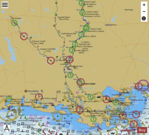
Here is the list of Louisiana Lakes Maps available on iBoating : USA Marine & Fishing App. Marine charts app now supports multiple plaforms including Android, iPhone/iPad, MacBook, and Windows/PC based chartplotter. Available Fishing info on lake maps includes boat ramps, boat launches, fish attractor locations, fishing points, stream flowage lines, navigation buoys, fishing structure, hazards, depth areas & more. HD contour bathymetry is available on selected lake depth maps at no additional cost.
The Lake Navigation App provides advanced features of a Marine Chartplotter including adjusting water level offset and custom depth shading. Fishing spots and depth contours layers are available in most Lake maps. Lake navigation features include advanced instrumentation to gather wind speed direction, water temperature, water depth, and accurate GPS with AIS receivers(using NMEA over TCP/UDP). Autopilot support can be enabled during ‘Goto WayPoint’ and ‘Route Assistance’. If marine chart / fishing map you are looking for is not listed in correct folio, please let us know.
| Fishing Map Name | Scale | |
| Amite River + Comite River + Canal System | 1:6000 | |
| Anacoco Lake | 1:3000 | |
| Bayou DArbonne Lake | 1:24000 | |
| Black Bayou Reservoir | 1:3000 | |
| Bundick Lake | 1:3000 | |
| Caddo Lake | 1:24000 | |
| Caney Lake Reservoir | 1:24000 | |
| Crooked Creek Reservoir | 1:12000 | |
| Cross Lake | 1:6000 | |
| False River | 1:6000 | |
| Grand Bayou Reservoir | 1:12000 | |
| Indian Creek Reservoir | 1:3000 | |
| Kincaid Reservoir | 1:3000 | |
| Lac des Allemands | 1:6000 | |
| Lake Bistineau | 1:6000 | |
| Lake Bruin | 1:6000 | |
| Lake Cataouatche | 1:6000 | |
| Lake Claiborne | 1:24000 | |
| Lake Kepler Creek | 1:3000 | |
| Lake Providence | 1:3000 | |
| Lake Rodemacher | 1:24000 | |
| Lake Salvador | 1:6000 | |
| Lake Smithport | 1:6000 | |
| Lake Verret | 1:6000 | |
| Mill Creek Reservoir | 1:12000 | |
| Raccourci Lake | 1:6000 | |
| Turkey Creek Lake | 1:6000 | |
| Vernon Lake | 1:1500 |