Nautical Charts for United Kingdom for Blackberry® & Android®
Keep all nautical charts with Blackberry® in your pocket!
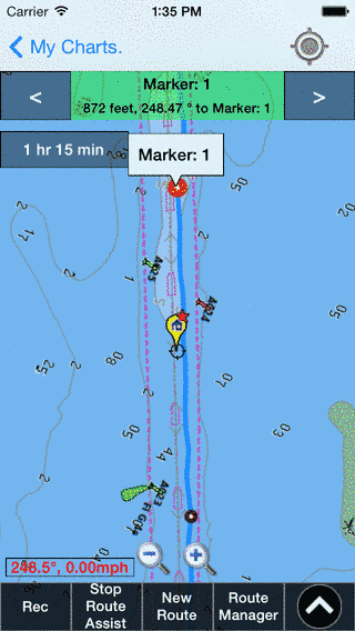
Our nautical charts app is derived from RNCs published by UKHO. Each UK nautical chart comes with vector POI layers that includes Buoys, Lights, Obstructions etc derived from equivalent ENC.
Once marine chart maps are downloaded to your phone, no Cellphone Connectivity is required. View all the marine chart app features here. Want to see it in action? You can watch video of our app here?
You can purchase UK Nautical Charts here.
Have more questions about the App? Ask us.
“This product has been derived in part from material obtained from the UK Hydrographic Office with the permission of the UK Hydrographic Office, Her Majesty’s Stationery Office.” “© British Crown Copyright, [2012]. All rights reserved.“