Beech Fork fishing map is available as part of iBoating : USA Marine & Fishing App(now supported on multiple platforms including Android, iPhone/iPad, MacBook, and Windows(tablet and phone)/PC based chartplotter.).
With our Lake Maps App, you get all the great marine chart app features like fishing spots, along with Beech Fork lake depth map. The fishing maps app include HD lake depth contours, along with advanced features found in Fish Finder / Gps Chart Plotter systems, turning your device into a Depth Finder. The Beech Fork Navigation App provides advanced features of a Marine Chartplotter including adjusting water level offset and custom depth shading. Fishing spots and depth contours layers are available in most Lake maps. Lake navigation features include advanced instrumentation to gather wind speed direction, water temperature, water depth, and accurate GPS with AIS receivers(using NMEA over TCP/UDP). Autopilot support can be enabled during ‘Goto WayPoint’ and ‘Route Assistance’.
Now i-Boating supports Fishing Points in Beech Fork.
Have more questions about the Nautical Chart App? Ask us.
Fishing Info for Beech Fork
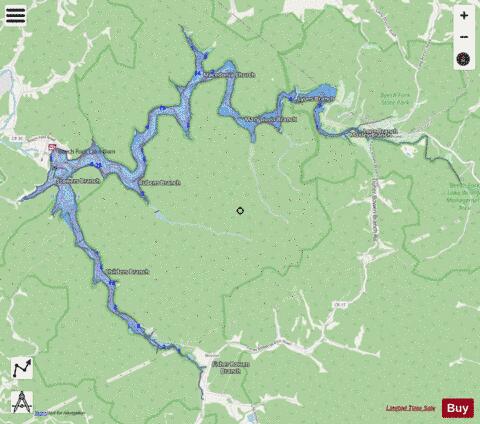
Beech Fork Lake is a 720 acre (2.9 km2) reservoir located near Lavalette in Wayne County, West Virginia, United States. Beech Fork Lake is also partly located in neighboring Cabell County. Millers Fork and Stowers Branch join Beech Fork with their own river valleys contributing to the majority of the lakesurface of Beech Fork Lake. These streams are tributaries of Twelvepole Creek. Beech Fork Lake as a flood control impoundment was authorized by the Flood Control Act of October 23, 1962 and was constructed by the U.S. Army Corps of Engineers in the mid-1970s. The lake was completed and dedicated in May 1978.
More on Wikipedia...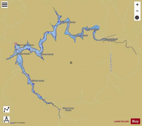

Beech Fork Fishing Map Stats | |
| Title | Beech Fork |
| Scale | 1:12000 |
| Counties | Cabell, Wayne |
| Nearby Cities | Lavalette, Wayne, East Lynn, Huntington, Barboursville, Salt Rock, Proctorville, Chesapeake, West Hamlin, Branchland |
| Area * | 653.50 acres |
| Shoreline * | 32.26 miles |
| Min Longitude | -82.42 |
| Min Latitude | 38.26 |
| Max Longitude | -82.33 |
| Max Latitude | 38.32 |
| Edition Label 1 | |
| Edition Label 2 | |
| Edition Label 3 | |
| Id | US_WV_wvdn_beech_fork |
| Country | US |
| Projection | Mercator |
| * some Stats may include nearby/connecting waterbodies | |
|