Sylvan fishing map is available as part of iBoating : USA Marine & Fishing App(now supported on multiple platforms including Android, iPhone/iPad, MacBook, and Windows(tablet and phone)/PC based chartplotter.).
With our Lake Maps App, you get all the great marine chart app features like fishing spots, along with Sylvan lake depth map. The fishing maps app include HD lake depth contours, along with advanced features found in Fish Finder / Gps Chart Plotter systems, turning your device into a Depth Finder. The Sylvan Navigation App provides advanced features of a Marine Chartplotter including adjusting water level offset and custom depth shading. Fishing spots and depth contours layers are available in most Lake maps. Lake navigation features include advanced instrumentation to gather wind speed direction, water temperature, water depth, and accurate GPS with AIS receivers(using NMEA over TCP/UDP). Autopilot support can be enabled during ‘Goto WayPoint’ and ‘Route Assistance’.
Now i-Boating supports Fishing Points in Sylvan.
Have more questions about the Nautical Chart App? Ask us.
Fishing Info for Sylvan
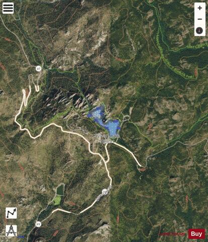
Sylvan Lake is a lake located in Custer State Park, in the Black Hills of South Dakota, United States. It was created in 1891 when Theodore Reder built a dam (the Sylvan Lake Water Dam) across Sunday Gulch Creek. The lake area offers picnic places, rock climbing, small rental boats, swimming, and hiking trails. It is also popular as a starting point for excursions to Black Elk Peak and The Needles. A hotel was operated on the shore of the lake in the early 20th century . The lake was featured in Disney's 2007 film National Treasure: Book of Secrets. The film made the lake appear to be located directly behind Mount Rushmore when in reality it is actually five miles southwest of Mount Rushmore. * Swimming and other activities are popular at Sylvan Lake. * Rock wall damming the northwest side of Sylvan Lake * Path between rocks and lake * Paddleboat on the lake * View down from Sylvan Lake Water Dam to the Sunday Gulch Creek * A view of Sylvan Lake in Custer State Park, South Dakota.
More on Wikipedia...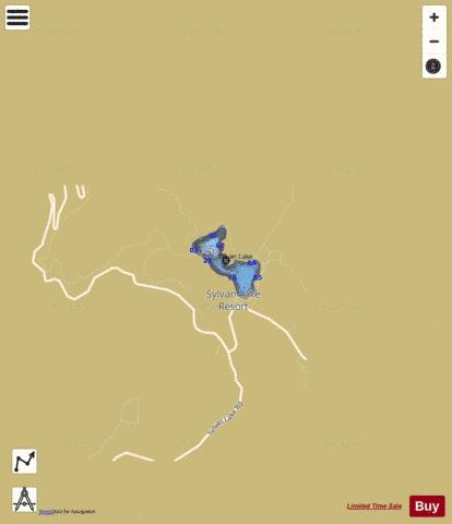
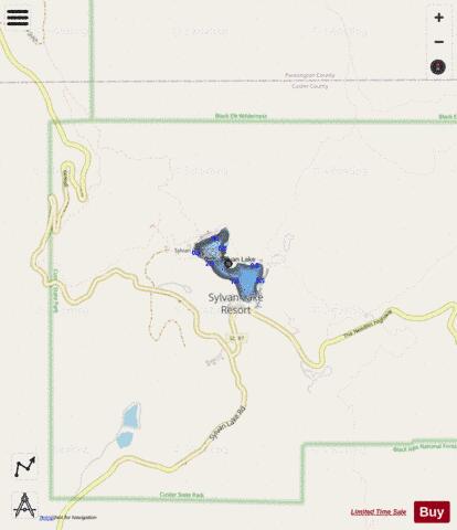
Sylvan Fishing Map Stats | |
| Title | Sylvan |
| Scale | 1:6000 |
| Counties | Custer |
| Nearby Cities | Hill City, Custer, Keystone, Rockerville, Silver City, Pringle, Johnson Siding, Colonial Pine Hills, Rochford, Nemo |
| Area * | 18.88 acres |
| Shoreline * | 1.02 miles |
| Min Longitude | -103.57 |
| Min Latitude | 43.84 |
| Max Longitude | -103.56 |
| Max Latitude | 43.85 |
| Edition Label 1 | |
| Edition Label 2 | |
| Edition Label 3 | |
| Id | US_SD_sylvan_custer_sd |
| Country | US |
| Projection | Mercator |
| * some Stats may include nearby/connecting waterbodies | |
|