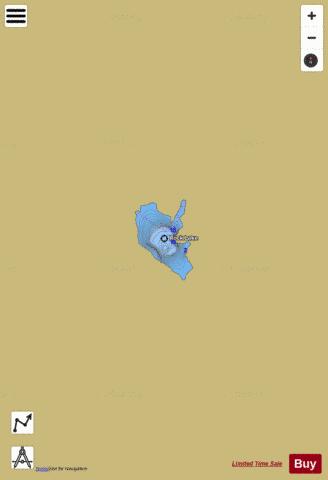
Rock Lake fishing map is available as part of iBoating : USA Marine & Fishing App(now supported on multiple platforms including Android, iPhone/iPad, MacBook, and Windows(tablet and phone)/PC based chartplotter.).
With our Lake Maps App, you get all the great marine chart app features like fishing spots, along with Rock Lake depth map. The fishing maps app include HD lake depth contours, along with advanced features found in Fish Finder / Gps Chart Plotter systems, turning your device into a Depth Finder. The Rock Lake Navigation App provides advanced features of a Marine Chartplotter including adjusting water level offset and custom depth shading. Fishing spots and depth contours layers are available in most Lake maps. Lake navigation features include advanced instrumentation to gather wind speed direction, water temperature, water depth, and accurate GPS with AIS receivers(using NMEA over TCP/UDP). Autopilot support can be enabled during ‘Goto WayPoint’ and ‘Route Assistance’.
Now i-Boating supports Fishing Points in Rock Lake.
Have more questions about the Nautical Chart App? Ask us.
Fishing Info for Rock Lake
Rock Lake is a lake located southeast of Clockmill Corners, New York. Fish species present in the lake are brown bullhead, chain pickerel, brook trout, and sunfish large mouth bass yellow perch northern pike. There is trail access off Powley-Piseco Road along the west shore. Overview of Rock Lake: Rock Lake is a widened portion of the Rock River. Rock River can be dangerous however, with shallow waters and many rapids. On the west side of the lake there lie wetlands and bird viewing opportunities. On the eastern side are sand beaches and waters for swimming. Directions to Rock Lake: From the intersection of Route 30 and Route 28 in Indian Lake, follow Route 28 and 30 toward Blue Mountain Lake for 6.0 miles to the trail end at the right. Type of water in Rock Lake: Rock lake is a large body of water that consists of shallow areas and rapid areas as well. It is not well-sheltered, but it remains calm year round. Type of carry in Rock Lake: 0.85 mile carry over rough waters and a narrow trail. Would be best for a light weight canoe or kayak that can be carried. Rock Lake Trail Overview: This is a short trail that is regularly utilized by fishermen and those ready to make the short side trip to paddle a separated lake. The shoreline has birding openings. From the stopping territory, one climbs on a smooth trail. Johnny Mack Brook is on the right side through a blended woodland and a snowmobile trail intersects just short of the lake. Other approaches to the lake are available from the snowmobile trail.
More on Wikipedia...Popular fish species in this lake include Brook trout, Brown bullhead, Chain pickerel, Northern pike and Yellow perch.
Rock Lake Fishing Map Stats | |
| Title | Rock Lake |
| Scale | 1:3000 |
| Counties | Hamilton |
| Nearby Cities | Arietta, Stratford, Caroga Lake, Lake Pleasant, Oppenheim, Speculator, Dolgeville, Salisbury, Bleecker, Wells |
| Area * | 29.69 acres |
| Shoreline * | 1.28 miles |
| Min Longitude | -74.59 |
| Min Latitude | 43.33 |
| Max Longitude | -74.59 |
| Max Latitude | 43.33 |
| Edition Label 1 | |
| Edition Label 2 | |
| Edition Label 3 | |
| Id | US_NY_00962710 |
| Country | US |
| Projection | Mercator |
| * some Stats may include nearby/connecting waterbodies | |
|


