Overland Lake fishing map is available as part of iBoating : USA Marine & Fishing App(now supported on multiple platforms including Android, iPhone/iPad, MacBook, and Windows(tablet and phone)/PC based chartplotter.).
With our Lake Maps App, you get all the great marine chart app features like fishing spots, along with Overland Lake depth map. The fishing maps app include HD lake depth contours, along with advanced features found in Fish Finder / Gps Chart Plotter systems, turning your device into a Depth Finder. The Overland Lake Navigation App provides advanced features of a Marine Chartplotter including adjusting water level offset and custom depth shading. Fishing spots and depth contours layers are available in most Lake maps. Lake navigation features include advanced instrumentation to gather wind speed direction, water temperature, water depth, and accurate GPS with AIS receivers(using NMEA over TCP/UDP). Autopilot support can be enabled during ‘Goto WayPoint’ and ‘Route Assistance’.
Now i-Boating supports Fishing Points in Overland Lake.
Have more questions about the Nautical Chart App? Ask us.
Fishing Info for Overland Lake
Overland Lake is a glacial tarn in the Ruby Mountains of Elko County in the northeastern part of the state of Nevada. It is located at the head of Overland Canyon at approximately 40°27.6'N and 115°27.4'W, and at an elevation of 9,450 feet (2,880 meters). It has an area of approximately 15 acres (6.1 hectares), and a depth of up to 55 feet (17 m). The Ruby Crest National Recreation Trail runs along the eastern shore of the lake. Overland Lake is the principal source of Overland Creek, which after exiting the mountains flows into Ruby Valley. It was originally named Marian Lake by geologist Clarence King, after his sister, and was the subject of several famous paintings and photographs. This name, however, was lost, and the name of the lake became associated with the Overland Mail and Stage Route, which passed nearby.
More on Wikipedia...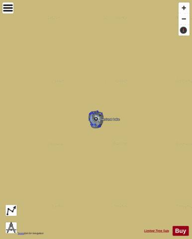
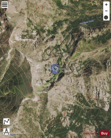
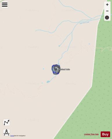
Overland Lake Fishing Map Stats | |
| Title | Overland Lake |
| Scale | 1:3000 |
| Counties | Elko |
| Nearby Cities | Ruby Valley, Lee, Lamoille, Spring Creek, Arthur, Elko, Halleck, Osino, Deeth, Carlin |
| Area * | 11.01 acres |
| Shoreline * | 0.49 miles |
| Min Longitude | -115.46 |
| Min Latitude | 40.46 |
| Max Longitude | -115.46 |
| Max Latitude | 40.46 |
| Edition Label 1 | |
| Edition Label 2 | |
| Edition Label 3 | |
| Id | US_LM_us_nv_el_36n58e_overland |
| Country | US |
| Projection | Mercator |
| * some Stats may include nearby/connecting waterbodies | |
|