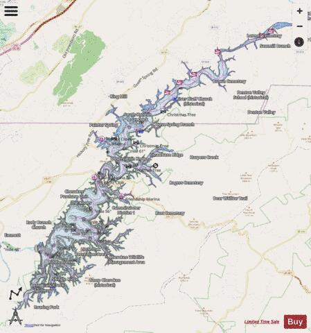
South Holston Lake fishing map is available as part of iBoating : USA Marine & Fishing App(now supported on multiple platforms including Android, iPhone/iPad, MacBook, and Windows(tablet and phone)/PC based chartplotter.).
With our Lake Maps App, you get all the great marine chart app features like fishing spots, along with South Holston Lake depth map. The fishing maps app include HD lake depth contours, along with advanced features found in Fish Finder / Gps Chart Plotter systems, turning your device into a Depth Finder. The South Holston Lake Navigation App provides advanced features of a Marine Chartplotter including adjusting water level offset and custom depth shading. Fishing spots and depth contours layers are available in most Lake maps. Lake navigation features include advanced instrumentation to gather wind speed direction, water temperature, water depth, and accurate GPS with AIS receivers(using NMEA over TCP/UDP). Autopilot support can be enabled during ‘Goto WayPoint’ and ‘Route Assistance’.
Now i-Boating supports Fishing Points in South Holston Lake.
Have more questions about the Nautical Chart App? Ask us.
Fishing Info for South Holston Lake
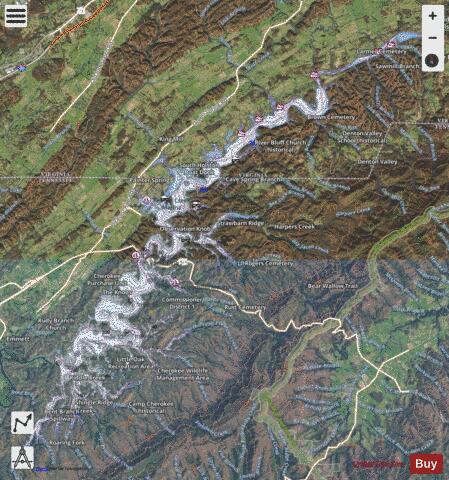
South Holston Lake is located near the cities of Abingdon, Virginia and Bristol, Virginia / Bristol, Tennessee, and is a 7,580-acre (31 km2) impoundment operated by the Tennessee Valley Authority (TVA). Much of the reservoir is in Tennessee, but the Virginia portion of the reservoir offers anglers more than 1,600 acres (6 km2) of water. At this time there is a South Holston Reservoir Fishing License that will allow anglers from the two states to fish the entire lake with the purchase of this license.
More on Wikipedia...Popular fish species in this lake include Crappie, Threadfin shad and Walleye.
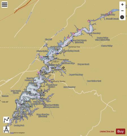
South Holston Lake Fishing Map Stats | |
| Title | South Holston Lake |
| Scale | 1:24000 |
| Counties | Sullivan, Washington |
| Nearby Cities | Abingdon, Carter, Wallace, Meadowview, Damascus, Bristol, Bristol, Hunter, Emory, Bluff City |
| Area * | 7485.76 acres |
| Shoreline * | 171.79 miles |
| Min Longitude | -82.11 |
| Min Latitude | 36.48 |
| Max Longitude | -81.90 |
| Max Latitude | 36.66 |
| Edition Label 1 | |
| Edition Label 2 | |
| Edition Label 3 | |
| Id | US_AA_TN_01327073 |
| Country | US |
| Projection | Mercator |
| * some Stats may include nearby/connecting waterbodies | |
|