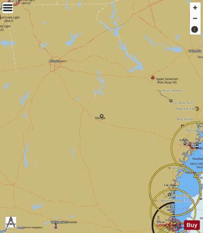
Here is the list of Georgia Lakes Maps available on iBoating : USA Marine & Fishing App. Marine charts app now supports multiple plaforms including Android, iPhone/iPad, MacBook, and Windows/PC based chartplotter. Available Fishing info on lake maps includes boat ramps, boat launches, fish attractor locations, fishing points, stream flowage lines, navigation buoys, fishing structure, hazards, depth areas & more. HD contour bathymetry is available on selected lake depth maps at no additional cost.
The Lake Navigation App provides advanced features of a Marine Chartplotter including adjusting water level offset and custom depth shading. Fishing spots and depth contours layers are available in most Lake maps. Lake navigation features include advanced instrumentation to gather wind speed direction, water temperature, water depth, and accurate GPS with AIS receivers(using NMEA over TCP/UDP). Autopilot support can be enabled during ‘Goto WayPoint’ and ‘Route Assistance’. If marine chart / fishing map you are looking for is not listed in correct folio, please let us know.
| Fishing Map Name | Scale | |
| Arrowhead Lake | 1:3000 | |
| Blue Ridge Lake | 1:12000 | |
| Boyle Lake Number Five | 1:3000 | |
| Boyle Lake Number Four | 1:3000 | |
| Boyle Lake Number One | 1:3000 | |
| Boyle Lake Number Three | 1:3000 | |
| Boyle Murder Lake | 1:3000 | |
| Dearing Number Nine Lake | 1:3000 | |
| Dodge County PFA | 1:3000 | |
| Flat Creek PFA | 1:3000 | |
| George H Sparks Reservoir | 1:3000 | |
| Heads Creek Reservoir | 1:12000 | |
| Horseshoe 4 | 1:3000 | |
| Horseshoe 5 | 1:3000 | |
| Jackson Lake | 1:12000 | |
| Lake Balboa | 1:3000 | |
| Lake Blackshear | 1:12000 | |
| Lake Bobben | 1:3000 | |
| Lake Burton | 1:12000 | |
| Lake Chatuge | 1:12000 | |
| Lake Harding/Bartletts Ferry Lake | 1:12000 | |
| Lake Horton | 1:6000 | |
| Lake Juliette | 1:12000 | |
| Lake Oliver (Extension) | 1:6000 | |
| Lake Oliver / Goat Rock Lake | 1:6000 | |
| Lake Patrick | 1:3000 | |
| Lake Ponce de Leon | 1:3000 | |
| Lake Rabun | 1:6000 | |
| Lake Russel | 1:3000 | |
| Lake Rutledge | 1:3000 | |
| Lake Sinclair | 1:12000 | |
| Lake Tobesofkee | 1:6000 | |
| Long Pond | 1:6000 | |
| Lower Lake | 1:3000 | |
| Murder Creek Lake | 1:3000 | |
| Nottely Lake | 1:12000 | |
| Reregulation Reservoir | 1:12000 | |
| Sands Pond | 1:3000 | |
| Seed Lake | 1:3000 | |
| Selman Lakes | 1:3000 | |
| Sheppard Lake | 1:3000 | |
| Stone Mountain Lake | 1:6000 | |
| Upper Lake | 1:3000 | |
| Yonah Lake | 1:6000 |

