Mahood Lake fishing map is included in Lakes and Rivers of British Columbia nautical charts folio. It is available as part of iBoating : Canada Marine & Fishing App (now supported on multiple platforms including Android, iPhone/iPad, MacBook, and Windows(tablet and phone)/PC based chartplotter. ).
With our Lake Maps App, you get all the great marine chart app features like fishing spots, along with Mahood Lake depth map. The fishing maps app include HD lake depth contours, along with advanced features found in Fish Finder / Gps Chart Plotter systems, turning your device into a Depth Finder. The Mahood Lake Navigation App provides advanced features of a Marine Chartplotter including adjusting water level offset and custom depth shading. Fishing spots and depth contours layers are available in most Lake maps. Lake navigation features include advanced instrumentation to gather wind speed direction, water temperature, water depth, and accurate GPS with AIS receivers(using NMEA over TCP/UDP). Autopilot support can be enabled during ‘Goto WayPoint’ and ‘Route Assistance’.
Now i-Boating supports Fishing Points in Mahood Lake.
Have more questions about the Nautical Chart App? Ask us.
Fishing Info for Mahood Lake
Mahood Lake is a lake in the South Cariboo region of the Interior of British Columbia in Wells Gray Provincial Park. It is drained by the Mahood River, a tributary of the Clearwater River which has cut a deep canyon into Cambrian rocks and Pleistocene glacial moraines. Mahood Lake is fed by the short Canim River, which drains nearby Canim Lake to the west via Canim Falls and Mahood Falls. The lake is 629 metres in elevation, 197 metres deep at its deepest point, approximately 33.5 km² in area, 21 km (13.0 mi) in length (east to west) and a maximum of 2.2 km (1.4 mi) in width. Mount Mahood is immediately south of the lake and rises to 1,812 m (5,945 ft).
More on Wikipedia...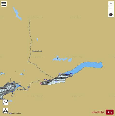

Mahood Lake Fishing Map Stats | |
| Title | Mahood Lake |
| Scale | 1:24000 |
| Districts | Cariboo, Thompson-Nicola |
| Nearby Cities | One Hundred Mile House |
| Area * | 8461.15 acres |
| Shoreline * | 81.13 miles |
| Min Longitude | -120.65 |
| Min Latitude | 51.85 |
| Max Longitude | -120.25 |
| Max Latitude | 52.06 |
| Edition Label 1 | |
| Edition Label 2 | |
| Edition Label 3 | |
| Id | CA_BC_mahood_lake_36076 |
| Country | CA |
| Projection | Mercator |
| * some Stats may include nearby/connecting waterbodies | |
|