Home

Main navigation

  • Software
  • All Regions
  • Videos
  • USA
  • UK / IRL
  • Contact Us
  • FAQ
  • Buy
  1. United States
  2. Florida Marine Charts

New! i-Hunting Topo Maps now available -  

iPhone / iPad Marine Navigation App  and WMTS App are now available -  

New! Macbook ChartPlotter, and Windows Marine Navigation App now available -  
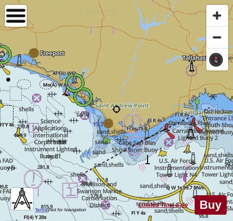
Gulf County Fishing Maps

Looking for fishing distinations in Gulf County? Our app supports the following lake maps in Gulf County. If marine chart / fishing map you are looking for is not listed in correct folio, please let us know.

Lake / Marine Chart TitleScale
Apalachicola + Chattahoochee1:12000
Apalachicola + Chattahoochee1:24000
Apalachicola + Chattahoochee1:12000
Cape San Blas to Indian Pass1:40000
East Bay to Wetappo Creek1:40000
Gulf Intracoastal Waterway - Apalachicola River1:12000
Gulf Intracoastal Waterway - Jackson River and Saint Vincent Sound1:12000
Gulf Intracoastal Waterway - Lake Wimico1:12000
Gulf Intracoastal Waterway - Lake Wimico to Jackson River1:12000
Gulf Intracoastal Waterway - Wetappo Creek1:12000
Lake Wimico to East Bay1:40000
Port Saint Joe and Saint Joseph Bay1:12000
Port Saint Joe to Gulf County Canal and Saint Joseph Bay1:12000
Saint Joseph Bay1:40000
Saint Joseph Bay1:12000
Gulf County Fishing App
Gulf Map - i-Fishing App


Limited time sale - USA 24.99 $29.99, Canada 28.99 $34.99, UK 27.99 $32.99  

Buy     

My Account

Copyright © 2009-2026 Bist LLC. All rights reserved. Terms Of Service -Privacy Policy -   - YouTube icon  - Twitter icon   -Blog - Marine Leader Board