New! i-Hunting Topo Maps now available -  

iPhone / iPad Marine Navigation App  and WMTS App are now available -  

New! Macbook ChartPlotter, and Windows Marine Navigation App now available -  
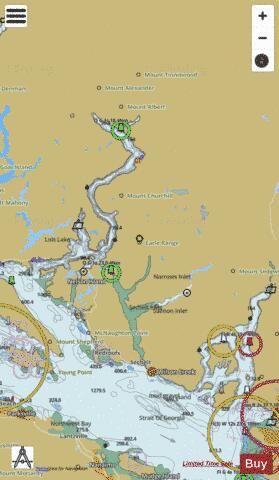
Sunshine Coast District Fishing Maps

Looking for fishing distinations in Sunshine Coast District? Our app supports the following lake maps in Sunshine Coast District. If marine chart / fishing map you are looking for is not listed in correct folio, please let us know.

Lake / Marine Chart TitleScale
Ambrose Lake1:6000
Clowhom Lake1:12000
Garden Bay Lake1:6000
Hotel Lake1:6000
Katherine Lake (Sechelt Area)1:6000
Klein Lake1:6000
Lily Lake1:6000
Mixal Lake1:6000
Ruby Lake1:12000
Sakinaw Lake1:12000
Waugh Lake1:12000
West Lake1:12000
Agamemnon Channel (BC Ferries) - Harbour Chart (1:8,000)1:8000
Bute Inlet (False Passage, Church House) - Inland / Approach Chart (1:45,000)1:45000
Desolation Sound (Thulin Passage, Roffey Island) - Inland / Approach Chart (1:45,000)1:45000
Hotham Sound (Harmony Islands) - Harbour Chart (1:12,000)1:12000
Howe Sound (Barfleur Passage, Gibsons) - Harbour Chart (1:6,000)1:6000
Howe Sound (Ekins Point Outstation, BC Ferries, Squamish) - Inland / Approach Chart (1:45,000)1:45000
Malaspina Strait (Bargain Narrows, Dusenbury Island) - Harbour Chart (1:12,000)1:12000
Malaspina Strait (Welcome Pass Recreation Site, Jack Tolmie Island) - Inland / Approach Chart (1:22,000)1:22000
Princess Royal Reach (Chatterbox Floatplane Dock, Macdonald Island) - Inland / Approach Chart (1:45,000)1:45000
Queens Reach (Malibu Rapids) - Harbour Chart (1:6,000)1:6000
Sechelt Inlet (Skookumchuck Narrows Provincial Park, Rapid Islet) - Harbour Chart (1:10,000)1:10000
Strait of Georgia (Mud Bay Dock, BC Ferries- Gabriola Island, Nanaimo) - Inland / Approach Chart (1:45,000)1:45000
Strait of Georgia (Welcome Passage, Merry Island) - Inland / Approach Chart (1:22,000)1:22000
Thornbrough Channel (Woolridge Island) - Harbour Detail (1:2,500)1:2500
Trail Bay (Strait of Georgia, Sechelt) - Harbour Detail (1:2,500)1:2500
Welcome Passage (South Thormanby Island) - Inland / Approach Chart (1:22,000)1:22000
Sunshine Coast District Fishing App
Sunshine Coast Map - i-Fishing App