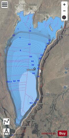
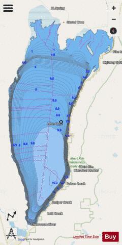
Lake Abert fishing map is available as part of iBoating : USA Marine & Fishing App(now supported on multiple platforms including Android, iPhone/iPad, MacBook, and Windows(tablet and phone)/PC based chartplotter.).
With our Lake Maps App, you get all the great marine chart app features like fishing spots, along with Lake Abert depth map. The fishing maps app include HD lake depth contours, along with advanced features found in Fish Finder / Gps Chart Plotter systems, turning your device into a Depth Finder. The Lake Abert Navigation App provides advanced features of a Marine Chartplotter including adjusting water level offset and custom depth shading. Fishing spots and depth contours layers are available in most Lake maps. Lake navigation features include advanced instrumentation to gather wind speed direction, water temperature, water depth, and accurate GPS with AIS receivers(using NMEA over TCP/UDP). Autopilot support can be enabled during ‘Goto WayPoint’ and ‘Route Assistance’.
Have more questions about the Nautical Chart App? Ask us.
Fishing Info for Lake Abert
Lake Abert (also known as Abert Lake) is a large, shallow, alkali lake in Lake County, Oregon, United States. It is approximately 15 mi (24 km) long and 7 mi (11 km) wide at its widest point. It is located 3 mi (4.8 km) northeast of the small, unincorporated community of Valley Falls, Oregon. The lake was named in honor of Colonel John James Abert by explorer John C. Fremont during his 1843 expedition into Central Oregon. No fish live in the alkaline waters of the lake; however, its dense population of brine shrimp supports a variety of shorebirds. The lake is an important stop on the bird migration route known as the Pacific flyway.
More on Wikipedia...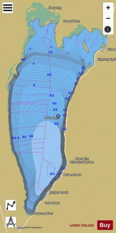
Lake Abert Fishing Map Stats | |
| Title | Lake Abert |
| Scale | 1:12000 |
| Counties | Lake |
| Nearby Cities | Valley Falls, Paisley, Plush, Lakeview, Adel, New Pine Creek, New Pine Creek, Wagontire, Summer Lake, Willow Ranch |
| Area * | 44751.71 acres |
| Shoreline * | 66.11 miles |
| Min Longitude | -120.28 |
| Min Latitude | 42.52 |
| Max Longitude | -120.11 |
| Max Latitude | 42.76 |
| Edition Label 1 | |
| Edition Label 2 | |
| Edition Label 3 | |
| Id | US_OR_ordfw_lake_abert |
| Country | US |
| Projection | Mercator |
| * some Stats may include nearby/connecting waterbodies | |
|