Here is the list of West Virginia Marine Charts available on iBoating : USA Marine & Fishing App. Marine charts app now supports multiple plaforms including Android, iPhone/iPad, MacBook, and Windows/PC based chartplotter. The Marine Navigation App provides advanced features of a Marine Chartplotter including adjusting water level offset and custom depth shading. Fishing spots and depth contours layers are available in most Lake maps. Nautical navigation features include advanced instrumentation to gather wind speed direction, water temperature, water depth, and accurate GPS with AIS receivers(using NMEA over TCP/UDP). Autopilot support can be enabled during ‘Goto WayPoint’ and ‘Route Assistance’. If marine chart / fishing map you are looking for is not listed in correct folio, please let us know.
| Nautical Chart Title | Scale | |
| Bluestone Lake | 1:3000 | |
| East Lynn Lake | 1:3000 | |
| Jennings Randolph Lake | 1:12000 | |
| Kanawha River mile 1 to mile 24 | 1:5000 | |
| Kanawha River mile 24 to mile 50 | 1:5000 | |
| Kanawha River mile 50 to mile 65 | 1:5000 | |
| Kanawha River mile 65 to mile 91 | 1:5000 | |
| Monongahela River mile 86 to mile 128.7 | 1:5000 | |
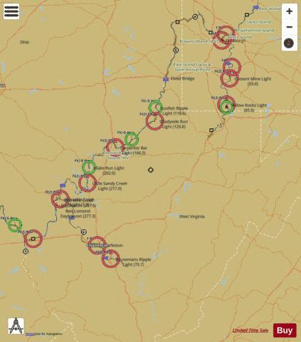
| Ohio River mile 128 to mile 166 | 1:5000 | |
| Ohio River mile 166 to mile 204 | 1:5000 | |
| Ohio River mile 204 to mile 275 | 1:5000 | |
| Ohio River mile 275 to mile 312 | 1:5000 | |
| Ohio River mile 312 to mile 332 | 1:5000 | |
| Ohio River mile 32 to mile 87 | 1:5000 | |
| Ohio River mile 87 to mile 128 | 1:5000 | |
| R. D. Bailey Lake | 1:3000 | |
| Summersville Lake | 1:6000 |