Fontana Lake fishing map is available as part of iBoating : USA Marine & Fishing App(now supported on multiple platforms including Android, iPhone/iPad, MacBook, and Windows(tablet and phone)/PC based chartplotter.).
With our Lake Maps App, you get all the great marine chart app features like fishing spots, along with Fontana Lake depth map. The fishing maps app include HD lake depth contours, along with advanced features found in Fish Finder / Gps Chart Plotter systems, turning your device into a Depth Finder. The Fontana Lake Navigation App provides advanced features of a Marine Chartplotter including adjusting water level offset and custom depth shading. Fishing spots and depth contours layers are available in most Lake maps. Lake navigation features include advanced instrumentation to gather wind speed direction, water temperature, water depth, and accurate GPS with AIS receivers(using NMEA over TCP/UDP). Autopilot support can be enabled during ‘Goto WayPoint’ and ‘Route Assistance’.
Now i-Boating supports Fishing Points in Fontana Lake.
Have more questions about the Nautical Chart App? Ask us.
Fishing Info for Fontana Lake
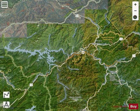
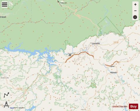
Fontana Lake is a reservoir impounded by Fontana Dam on the Little Tennessee River, and is located in Graham and Swain counties in North Carolina. The lake forms part of the southern border of Great Smoky Mountains National Park and the northern border of part of the Nantahala National Forest. Depending on water levels, the lake is about 17 miles (27 km) long. The eastern end is the Tuckasegee River near Bryson City. It has an average depth of 135 feet (41 m) and reaches a maximum depth of 440 feet (130 m), making it the deepest lake in North Carolina. The lake has many inlets into coves and many islands formed from former mountain peaks, especially near the eastern end. As with most dam-impounded lakes, the steep banks are exposed when water levels are low. Many towns were submerged shortly after the creation of Fontana Lake, such as Proctor and Judson. Fontana Lake provides the only access into the most remote areas of the National Park, unless visitors undertake a multi-day hike to get there. When the lake is at the normal summer level, a boat may be used to access remote trailheads such as Hazel Creek. From the observation tower on Clingmans Dome, on a clear day the lake can be seen nearly a mile below. While the maximum controlled elevation of the lake (top of dam gates) is 1,710 ft (520 m), the normal Summer surface elevation is 1,703 ft (519 m). NC 28 roughly parallels the southern shore of the lake, and US 19, between Bryson City and Wesser/Lauada, briefly skims an inlet at the extreme southeastern edge.
More on Wikipedia...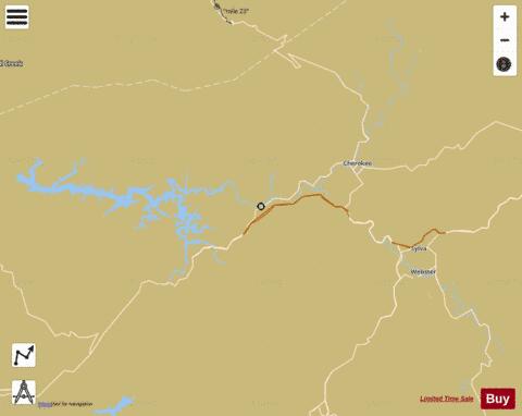
Fontana Lake Fishing Map Stats | |
| Title | Fontana Lake |
| Scale | 1:12000 |
| Counties | Graham, Jackson, Swain |
| Nearby Cities | Whittier, Almond, Cullowhee, Cherokee, Dillsboro, Bryson City, Webster, Lauada, Forest Hills, Fontana Village |
| Area * | 11137.08 acres |
| Shoreline * | 437.71 miles |
| Min Longitude | -83.81 |
| Min Latitude | 35.20 |
| Max Longitude | -83.10 |
| Max Latitude | 35.65 |
| Edition Label 1 | |
| Edition Label 2 | |
| Edition Label 3 | |
| Id | US_UB_NC_01011304 |
| Country | US |
| Projection | Mercator |
| * some Stats may include nearby/connecting waterbodies | |
|