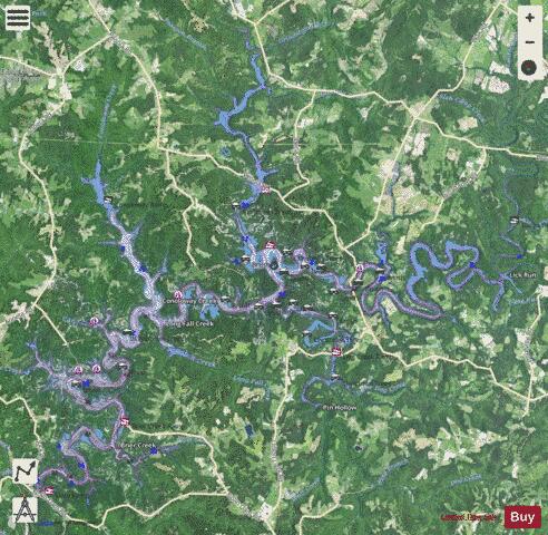
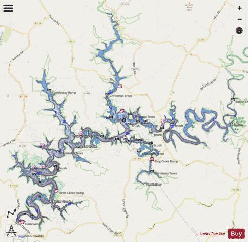
Nolin Lake fishing map is available as part of iBoating : USA Marine & Fishing App(now supported on multiple platforms including Android, iPhone/iPad, MacBook, and Windows(tablet and phone)/PC based chartplotter.).
With our Lake Maps App, you get all the great marine chart app features like fishing spots, along with Nolin Lake depth map. The fishing maps app include HD lake depth contours, along with advanced features found in Fish Finder / Gps Chart Plotter systems, turning your device into a Depth Finder. The Nolin Lake Navigation App provides advanced features of a Marine Chartplotter including adjusting water level offset and custom depth shading. Fishing spots and depth contours layers are available in most Lake maps. Lake navigation features include advanced instrumentation to gather wind speed direction, water temperature, water depth, and accurate GPS with AIS receivers(using NMEA over TCP/UDP). Autopilot support can be enabled during ‘Goto WayPoint’ and ‘Route Assistance’.
Now i-Boating supports Fishing Points in Nolin Lake.
Have more questions about the Nautical Chart App? Ask us.
Fishing Info for Nolin Lake
Nolin River Lake is a reservoir in Edmonson, Grayson, and Hart counties in Kentucky. It was impounded from the Nolin River by the United States Army Corps of Engineers in 1963. The Nolin River dam was authorized in 1938 as part of a flood control act. The lake varies from 2,890 acres (11.7 km2) in the winter to 5,795 acres (23.5 km2) in the summer. Nearby attractions include Mammoth Cave National Park, Nolin Lake State Park, Moutardier Resort and Marina, Ponderosa Boat Dock/Marina and Wax Marina. Moutardier is an unincorporated community that abuts Nolin River Lake. Moutardier is located on Kentucky Route 259, 10.3 miles (16.6 km) south-southeast of Leitchfield.
More on Wikipedia...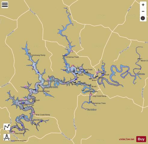
Nolin Lake Fishing Map Stats | |
| Title | Nolin Lake |
| Scale | 1:12000 |
| Counties | Edmonson, Grayson, Hart |
| Nearby Cities | Wax, Anneta, Bee Spring, Lindseyville, Brownsville, Clarkson, Leitchfield, Mammoth Cave, Big Clifty, Bonnieville |
| Area * | 5587.11 acres |
| Shoreline * | 158.80 miles |
| Min Longitude | -86.25 |
| Min Latitude | 37.27 |
| Max Longitude | -86.06 |
| Max Latitude | 37.42 |
| Edition Label 1 | |
| Edition Label 2 | |
| Edition Label 3 | |
| Id | US_KY_00499511 |
| Country | US |
| Projection | Mercator |
| * some Stats may include nearby/connecting waterbodies | |
|