LAKE SMART fishing map is available as part of iBoating : USA Marine & Fishing App(now supported on multiple platforms including Android, iPhone/iPad, MacBook, and Windows(tablet and phone)/PC based chartplotter.).
With our Lake Maps App, you get all the great marine chart app features like fishing spots, along with LAKE SMART depth map. The fishing maps app include HD lake depth contours, along with advanced features found in Fish Finder / Gps Chart Plotter systems, turning your device into a Depth Finder. The LAKE SMART Navigation App provides advanced features of a Marine Chartplotter including adjusting water level offset and custom depth shading. Fishing spots and depth contours layers are available in most Lake maps. Lake navigation features include advanced instrumentation to gather wind speed direction, water temperature, water depth, and accurate GPS with AIS receivers(using NMEA over TCP/UDP). Autopilot support can be enabled during ‘Goto WayPoint’ and ‘Route Assistance’.
Now i-Boating supports Fishing Points in LAKE SMART.
Have more questions about the Nautical Chart App? Ask us.
Fishing Info for LAKE SMART
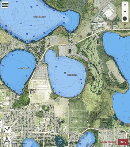
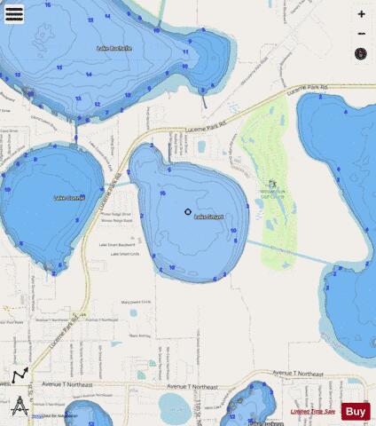
Lake Smart is a round natural freshwater lake, with a semicircular cove on its northwest side, on the northeast side of Winter Haven, Florida. Lake Smart has a water area of 277-acre (1,120,000 m2). This lake is mostly surrounded by woods and citrus groves. On its north and west sides it is bordered by residential developments. On the northwest Florida State Route 544 runs along Lake Smart's cove. This lake has no public swimming areas or public boat ramps. However, a canal in the cove goes to Lake Conine to the west. Another canal, some of the time unusable because of its shallowness, is on the east side and connects to Lake Fannie. Lake Smart is on the northern chain of lakes connected by canals in the Winter Haven Chain of Lakes. In addition, the public may reach the shore of Lake Smart along Route 544, so this lake can be fished and boated by the public. The Hook and Bullet website says Lake Smart contains largemouth bass, bluegill and crappie.
More on Wikipedia...Popular fish species in this lake include Crappie and Largemouth bass.
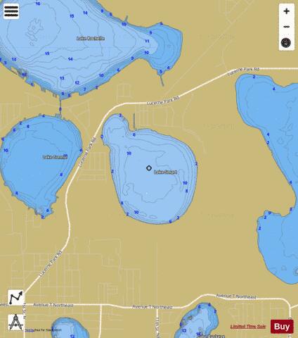
LAKE SMART Fishing Map Stats | |
| Title | LAKE SMART |
| Scale | 1:6000 |
| 1 ft Depth Contours for Anglers | Yes |
| Counties | Polk |
| Nearby Cities | Lake Alfred, Winter Haven, Inwood, Auburndale, Lake Hamilton, Eagle Lake, Dundee, Wahneta, Haines City, Waverly |
| Area * | 263.84 acres |
| Shoreline * | 2.86 miles |
| Min Longitude | -81.72 |
| Min Latitude | 28.05 |
| Max Longitude | -81.71 |
| Max Latitude | 28.06 |
| Edition Label 1 | |
| Edition Label 2 | |
| Edition Label 3 | |
| Id | US_FL_00291238 |
| Country | US |
| Projection | Mercator |
| * some Stats may include nearby/connecting waterbodies | |
|