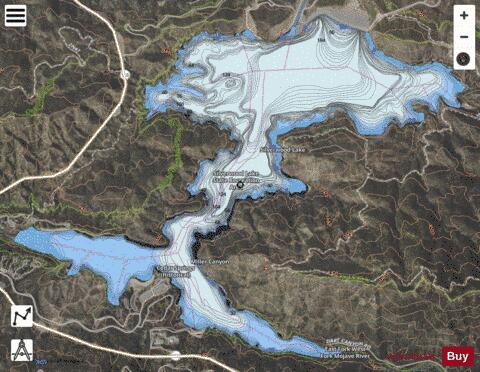
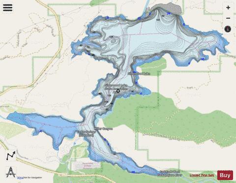
Silverwood Lake fishing map is available as part of iBoating : USA Marine & Fishing App(now supported on multiple platforms including Android, iPhone/iPad, MacBook, and Windows(tablet and phone)/PC based chartplotter.).
With our Lake Maps App, you get all the great marine chart app features like fishing spots, along with Silverwood Lake depth map. The fishing maps app include HD lake depth contours, along with advanced features found in Fish Finder / Gps Chart Plotter systems, turning your device into a Depth Finder. The Silverwood Lake Navigation App provides advanced features of a Marine Chartplotter including adjusting water level offset and custom depth shading. Fishing spots and depth contours layers are available in most Lake maps. Lake navigation features include advanced instrumentation to gather wind speed direction, water temperature, water depth, and accurate GPS with AIS receivers(using NMEA over TCP/UDP). Autopilot support can be enabled during ‘Goto WayPoint’ and ‘Route Assistance’.
Now i-Boating supports Fishing Points in Silverwood Lake.
Have more questions about the Nautical Chart App? Ask us.
Fishing Info for Silverwood Lake
Silverwood Lake is a large reservoir in San Bernardino County, California, United States, located on the West Fork Mojave River, a tributary of the Mojave River in the San Bernardino Mountains. It was created in 1971 as part of the State Water Project by the construction of the Cedar Springs Dam as a forebay on the 444 mi (715 km) long California Aqueduct (consequently inundating the former town of Cedar Springs), and has a capacity of 73,000 acre⋅ft (90,000,000 m3).
More on Wikipedia...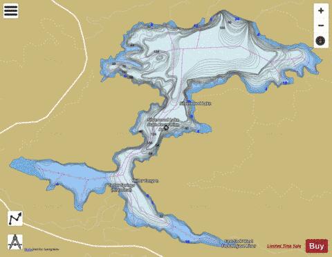
Silverwood Lake Fishing Map Stats | |
| Title | Silverwood Lake |
| Scale | 1:6000 |
| Counties | San Bernardino |
| Nearby Cities | Cedarpines Park, Valley View Park, Crestline, Arrowhead Highlands, Devore, Twin Peaks, Verdemont, Oak Hills, Rimforest, Blue Jay |
| Area * | 905.79 acres |
| Shoreline * | 13.43 miles |
| Min Longitude | -117.35 |
| Min Latitude | 34.28 |
| Max Longitude | -117.30 |
| Max Latitude | 34.31 |
| Edition Label 1 | |
| Edition Label 2 | |
| Edition Label 3 | |
| Id | US_DL_CA_00249498 |
| Country | US |
| Projection | Mercator |
| * some Stats may include nearby/connecting waterbodies | |
|