Slidrefjorden fishing map is included in รstfold nautical charts folio. It is available as part of iBoating : Norway Marine & Fishing App (now supported on multiple platforms including Android, iPhone/iPad, MacBook, and Windows(tablet and phone)/PC based chartplotter. ).
With our Lake Maps App, you get all the great marine chart app features like fishing spots, along with Slidrefjorden lake depth map. The fishing maps app include HD lake depth contours, along with advanced features found in Fish Finder / Gps Chart Plotter systems, turning your device into a Depth Finder. The Slidrefjorden Navigation App provides advanced features of a Marine Chartplotter including adjusting water level offset and custom depth shading. Fishing spots and depth contours layers are available in most Lake maps. Lake navigation features include advanced instrumentation to gather wind speed direction, water temperature, water depth, and accurate GPS with AIS receivers(using NMEA over TCP/UDP). Autopilot support can be enabled during โGoto WayPointโ and โRoute Assistanceโ.
Have more questions about the Nautical Chart App? Ask us.
Fishing Info for Slidrefjorden
Slidrefjord or Slidrefjorden (English: Slidre Fjord) is a lake that lies in Vestre Slidre Municipality (and the far northwestern end of the lake lies in Vang Municipality) in Innlandet county, Norway. The lake is not an actual fjord, just a lake that is part of the Begna river watershed. Slidrefjord has a surface area of 11.4 square kilometres (4.4 sq mi) and a shore length of 46.34 kilometres (28.79 mi). The lake sits at an elevation of 366 metres (1,201 ft) above sea level. The European route E16 highway runs along the northern shore of the lake.
More on Wikipedia...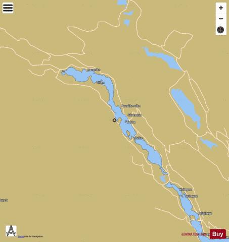
Slidrefjorden Fishing Map Stats | |
| Title | Slidrefjorden |
| Scale | 1:24000 |
| Min Longitude | 8.85 |
| Min Latitude | 61.04 |
| Max Longitude | 9.05 |
| Max Latitude | 61.14 |
| Edition Label 1 | |
| Edition Label 2 | |
| Edition Label 3 | |
| Id | NO_LK_516 |
| Country | Norway |
| Projection | Mercator |
| * some Stats may include nearby/connecting waterbodies | |
|