Bennett fishing map is included in Yukon Fishing Maps nautical charts folio. It is available as part of iBoating : Canada Marine & Fishing App (now supported on multiple platforms including Android, iPhone/iPad, MacBook, and Windows(tablet and phone)/PC based chartplotter. ).
With our Lake Maps App, you get all the great marine chart app features like fishing spots, along with Bennett lake depth map. The fishing maps app include HD lake depth contours, along with advanced features found in Fish Finder / Gps Chart Plotter systems, turning your device into a Depth Finder. The Bennett Navigation App provides advanced features of a Marine Chartplotter including adjusting water level offset and custom depth shading. Fishing spots and depth contours layers are available in most Lake maps. Lake navigation features include advanced instrumentation to gather wind speed direction, water temperature, water depth, and accurate GPS with AIS receivers(using NMEA over TCP/UDP). Autopilot support can be enabled during ‘Goto WayPoint’ and ‘Route Assistance’.
Now i-Boating supports Fishing Points in Bennett.
Have more questions about the Nautical Chart App? Ask us.
Fishing Info for Bennett
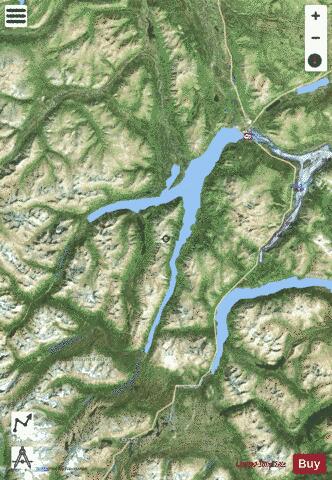
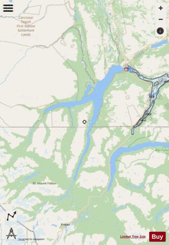
Bennett Lake is a lake in the Province of British Columbia and Yukon Territory in northwestern Canada, at an elevation of 2602 ft. (642 m.) . It is just north of the border with the United States state of Alaska, near the Alaskan port of Skagway. The narrow-gauge White Pass and Yukon Route Railroad connects the community of Bennett at the south end of the lake with Skagway further south and Whitehorse, Yukon on the north. It runs between Skagway and Fraser, British Columbia during the summer months. The abandoned town of Bennett, British Columbia, historically usually referred to as Lake Bennett or Bennett Lake and the town of Carcross, Yukon are on the shores of Bennett Lake.
More on Wikipedia...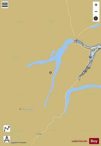
Bennett Fishing Map Stats | |
| Title | Bennett |
| Scale | 1:24000 |
| Districts | Stikine, Yukon |
| Nearby Cities | Whitehorse |
| Area * | 23535.35 acres |
| Shoreline * | 87.51 miles |
| Min Longitude | -135.17 |
| Min Latitude | 59.85 |
| Max Longitude | -134.71 |
| Max Latitude | 60.18 |
| Edition Label 1 | |
| Edition Label 2 | |
| Edition Label 3 | |
| Id | CA_YT_bennett |
| Country | CA |
| Projection | Mercator |
| * some Stats may include nearby/connecting waterbodies | |
| ||||||||||||||||||||||||||||||||||||||||||||||||||||||||||||||||||||||||||||||||||||||||||||||||||||||||
|