Batiscan Lac fishing map is included in Quebec to Anticosti Island West nautical charts folio. It is available as part of iBoating : Canada Marine & Fishing App (now supported on multiple platforms including Android, iPhone/iPad, MacBook, and Windows(tablet and phone)/PC based chartplotter. ).
With our Lake Maps App, you get all the great marine chart app features like fishing spots, along with Batiscan Lac depth map. The fishing maps app include HD lake depth contours, along with advanced features found in Fish Finder / Gps Chart Plotter systems, turning your device into a Depth Finder. The Batiscan Lac Navigation App provides advanced features of a Marine Chartplotter including adjusting water level offset and custom depth shading. Fishing spots and depth contours layers are available in most Lake maps. Lake navigation features include advanced instrumentation to gather wind speed direction, water temperature, water depth, and accurate GPS with AIS receivers(using NMEA over TCP/UDP). Autopilot support can be enabled during ‘Goto WayPoint’ and ‘Route Assistance’.
Now i-Boating supports Fishing Points in Batiscan Lac.
Have more questions about the Nautical Chart App? Ask us.
Fishing Info for Batiscan Lac
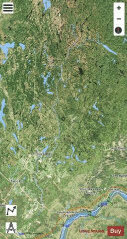
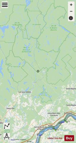
The Batiscan Lake is located in Upper Batiscanie and is the limit of unorganized territories of Lac-Blanc (White Lake) and Lac-Croche. This territory is related to the La Jacques-Cartier Regional County Municipality, in the administrative region of the Capitale-Nationale, in the province of Quebec, Canada. Shape while length (6.35 km by 0.5 km at the widest in the East-West direction), the Batiscan lake marks the southwestern boundary of the Laurentides Wildlife Reserve and the northeastern boundary of the Zec de la Rivière-Blanche. Shaped in length, in the East-West direction, the size of the lake is 6.35 km by 0.5 km at the widest. The Batiscan Lake mark the southwest boundary of the Laurentides Wildlife Reserve and the northeastern boundary of the Zec de la Rivière-Blanche. Fueled mainly by the Croche River (La Tuque) coming from northeast, Batiscan lake drains into the Lightning River which joins 15 kilometres (9.3 mi) to the west, the Batiscan River. The Croche River (La Tuque) is powered by the Lac Croche. The Moïse River, coming from the north, flows into the Lightning River just at the mouth of Lake Batiscan. The Moïse River is powered by which in turn is fed by three smaller rivers. The marks the boundary of the southwest boundary of the Laurentides Wildlife Reserve and the north boundary of the Zec de la Rivière-Blanche.
More on Wikipedia...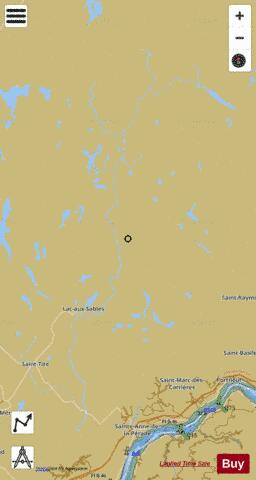
Batiscan Lac Fishing Map Stats | |
| Title | Batiscan Lac |
| Scale | 1:24000 |
| Districts | Francheville, La Jacques-Cartier, La Tuque, Mékinac, Portneuf |
| Nearby Cities | Saint-Tite, Sainte-Thècle, Shawinigan, Gentilly, Notre-Dame-du-Mont-Carmel, Trois-Rivières, Godefroy, Saint-Marc-des-Carrières, Saint Grégoire, Saint-Boniface |
| Area * | 6829.38 acres |
| Shoreline * | 392.95 miles |
| Min Longitude | -72.61 |
| Min Latitude | 46.57 |
| Max Longitude | -71.86 |
| Max Latitude | 47.48 |
| Edition Label 1 | |
| Edition Label 2 | |
| Edition Label 3 | |
| Id | CA_QC_batiscan__lac__qc |
| Country | CA |
| Projection | Mercator |
| * some Stats may include nearby/connecting waterbodies | |
| |||||||||||||||||||||||||||||||||||||||||||||||||||||||||||||||||||||||||||||||||||||||||||||||||||||||
|