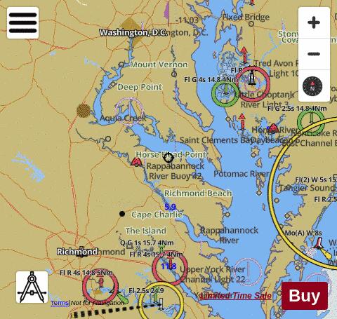
Looking for fishing distinations in Westmoreland County? Our app supports the following lake maps in Westmoreland County. If marine chart / fishing map you are looking for is not listed in correct folio, please let us know.
|
|
New! i-Hunting Topo Maps now available -
iPhone / iPad Marine Navigation App and WMTS App are now available -
New! Macbook ChartPlotter, and Windows Marine Navigation App now available -
|
|