| Lake / Marine Chart Title | Scale | |
| PELICAN HARBOR | 1:10000 |
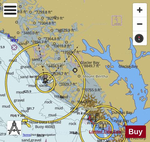
| Bartlett Cove | 1:10000 |
| Cape Edward to Lisianski Strait, Chichagof Island | 1:40000 |
| Cape Spencer to Icy Point | 1:40000 |
| Gambier Bay, Stephens Passage | 1:40000 |
| Gastineau Channel and Taku Inlet;Juneau Harbor | 1:40000 |
| Harbors in Chatham Strait and vicinity Gut Bay, Chatham Strait;Hoggatt Bay, Chatham Strait;Red Bluff Bay, Chatham Strait;Herring Bay and Chapin Bay, Frederick Sound;Surprise Hbr, and Murder Cove, Frederick Sound | 1:20000 |
| Hawk Inlet, Chatham Strait | 1:10000 |
| Holkham Bay and Tracy Arm | 1:20000 |
| Holkham Bay and Tracy Arm | 1:20000 |
| Holkham Bay and Tracy Arm | 1:20000 |
| Holkham Bay And Tracy Arm - Stephens Passage | 1:40000 |
| Hood Bay and Kootznahoo Inlet | 1:30000 |
| Keku Strait-northern part, including Saginaw and Security Bays;Kake Inset | 1:40000 |
| Lituya Bay;Lituya Bay Entrance | 1:20000 |
| Lynn Canal-Funter Bay | 1:20000 |
| Port Frederick - Hoonah Harbor and Vicinity; Inian Cove; Elfin Cove | 1:22000 |
| Pybus Bay, Frederick Sound;Hobart and Windham Bays, Stephens P. | 1:40000 |
| Slocum and Limestone Inlets and Taku Harbor | 1:20000 |
| Tracy Arm | 1:20000 |
| Tracy Arm | 1:20000 |
| Tracy Arm | 1:20000 |
| Tracy Arm | 1:20000 |
| Tracy Arm | 1:20000 |
| Tracy Arm and Endicott Arm | 1:20000 |
| Tracy Arm and Sawyer Glacier | 1:20000 |
| Tracy Arm and South Sawyer Glacier | 1:20000 |
| Whitewater Bay and Chaik Bay, Chatham Strait | 1:20000 |
| Woewodski and Eliza Hbrs.;Fanshaw Bay and Cleveland Passage | 1:20000 |
| Yakobi Island and Lisianski Inlet;Pelican Harbor | 1:40000 |